Reporting
MarineSeen takes pride in producing reports for clients that are easy to read and understand, but which are scientifically robust.
Data related services include the sourcing of historical data (data mining), used both to put results in context and in the scoping of fieldwork requirements.
MarineSeen has expertise in the basic use of Mapinfo, GIS and PRIMER statistical software and has developed good links with organisations specialising in these areas.
Recent examples of work include:
Moore, J.J., Bunker, F. & Jones, J. (2011). Analysis of seabed drop-down video and stills. A report to JNCC from Aquatic Survey & Monitoring Ltd., Cosheston, Pembrokeshire.
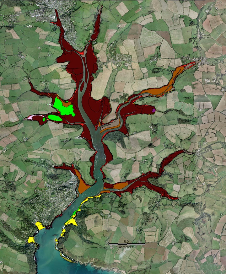
Bunker, F. StP. D., Mercer, T.M. and Perrins, J.M. (2010). Salcombe to Kingsbridge SSSI and Erme Estuary SSSI intertidal biotope survey 2009. A report to Natural England by Aquatic Survey and Monitoring Ltd.
Bunker, F.StP. D. 2011. Marine Algal Sites In Wales: Survey And Inventory. A report to the Countryside Council for Wales by MarineSeen, Pembrokeshire
Bunker, F.StP. D. and Camplin M.D., 2010. Monitoring of a Maerl Bed in the Milford Haven Waterway, Pembrokeshire, 2010. A report to the Countryside Council for Wales by MarineSeen, Pembrokeshire 177pp + iii.