Francis Bunker’s 10 years of teaching and research experience with the Field Studies Council have given MarineSeen the expertise to run a variety of field courses.
A variety of bespoke courses are offered in a range of subjects including General Marine Life Identification (shore based or diver based), Seaweed Identification, Phase 1 shore mapping, Subtidal Survey techniques and Underwater Photography and Video.
Some recent courses are outlined below. Please contact MarineSeen to discuss your training requirements.
Recent Courses:
Diver Refresher and Survey Skills – A course run with the aid of qualified instructors to introduce new divers or divers with rusty skills into working safely underwater. Some basic Marine Life Identification included.
Marine Life Identification and Survey Techniques for Diving Marine Biologists – Introduction to the identification of some of the more challenging marine groups including seaweeds, sponges, hydroids, bryozoans and ascidians. Laying transects, recording underwater from quadrats and a variety of survey techniques including quality control procedures.

Seaweed Identification. Francis has run an annual Collecting and Identifying Seaweeds course for the British Phycological Society since 2003. Francis also runs courses on behalf of the Field Studies Council and Seasearch.
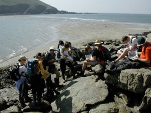
Phase 1 Shore Mapping – Identification of shore features using colour aerial photographs to facilitate the mapping of shore biotopes. Included in this course is training on the recognition of shore biotopes in the field (using the Marine Habitat Classification for UK and Ireland) and the creation of maps using GIS software. Phase 1 mapping courses have been run for both government Countryside Agencies and commercial consultancies.